Physical
planisphere
World travel map
Europe, general view
Alps, physical map
Germany, rivers and mountains
Germany, geological map
German Empire
German colonies
Prussia, general view
East and West Prussia
Brandenburg
Berlin, city map + index
Berlin and surroundings
Pomerania
Poznania
Silesia
Saxony, province
Schleswig-Holstein
Hanover
Westphalia
Hessen-Nassau.
Rhine province
Bavaria
Saxony
Württemberg and Hohenzollern
Baden
Hessen
|
Mecklenburg
Saxon duchies, Schwarzburg and Reuss
Hamburg + surroundings
Alsace-Lorraine
Austria-Hungary,
Upper Austria
Lower Austria
Vienna, plan + index
Vienna, centre + index
Salzburg
Styria
Carinthia
Carniola and Istria
Tirol
Bohemia, Moravia and Austrian Silesia
Hungary, Galicia and Bukovina
Budapest, plan + index
Switzerland
Denmark
Sweden and Norway
Sweden and Norway, southern part
Netherlands
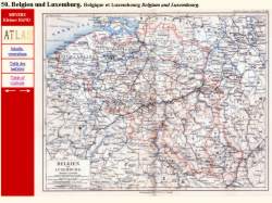
Belgium and Luxembourg
Great
Britain
|
England
London + index
London, City + index
France
Paris, surroundings
Paris, plan + index
France, north
Spain and Portugal
Italy, general view
Rome, plan + index
Rome, surroundings
Italy, northern half
Italy, southern half
Balkan peninsula
Turkish Empire
Bosnia and Montenegro
Romania, Serbia and Montenegro
Greece
Russia, European part
Saint Petersburg + index
Surrounding area
Livonia, Estonia, Kurland
Poland and West Russia
Asia, general view
Palestine
Persia
Central Asia
|
India
Indochina and Malay-Archipelago
China and Japan.
Africa, general view
Egypt, Darfur and Abyssinia
Algeria, Morocco and Tunisia
Gold Coast + W. Sudan
Central Africa
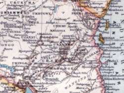
German East Africa
South Africa
North America
United States, east
United States, west
New York, general view
Mexico
West Indies and Central America
South America
Peru, Ecuador, Colombia and Venezuela
Argentina, Chile, Bol., Urug., Paraguay.
Brazil, southern part
Oceania
Australia, continent
|

